 Mtirala National Park is located between Kobuleti, Kedi and Khelvachauri municipality. Total acreage is 15698.8 ha and is located at 1700m.
Reserved area of Mtirala was opened on June 27th of 2007. Mountain name may be translated as “weep” due to foggy conditions all year long. Before visiting reserved area recommended passing the registration in Chakvi office, an information will passed to security service of reserved area that will ensure your safety and security in case of emergency.
Hiking trails of Mtirala National Park
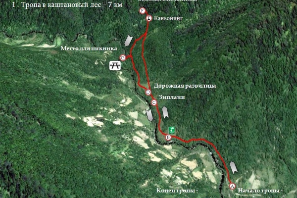
Chestnut route, 7km length, 1day, easy footpath

Route is located at 265-442m above sea level. Hiking trail is linking two places waterfall and lake. Route pass through wonderful ravine of Chakvistskali river. Nearby is Mtirala National park with its wonderful Kolkhidian buxus, velour and waterfall 15km high.
There are special places for camping near the waterfall. Here is aplenty of Brook trout so at riverside there are places for basket lunch
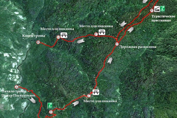
Tsivtskaro Trail
2 day route starts in visitors centre, located at 260m above sea level and finished at 1250m above sea level. Trail begins from Kolkhidian forest and finished with beechwood forest. On the route encountered old growth forest allowing conducting scientific research of flora and fauna.
Mtirala National Park
Do you have any questions or would you like to visit sight?
Please fill in the following form and we will contact you.
[fc id=’7′ align=’left’][/fc]


